

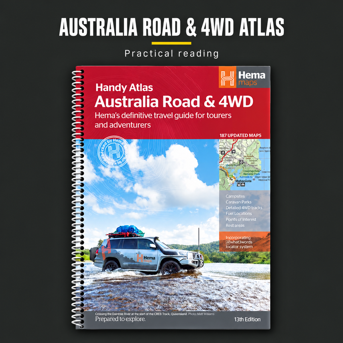
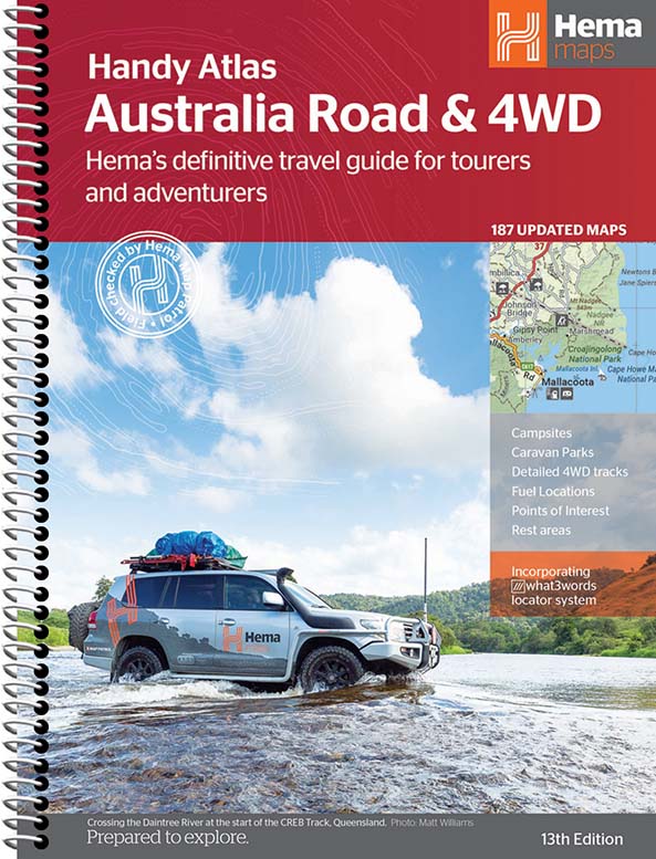
Hema Australia Road & 4WD Atlas
Goes well with
- A few left in stock!
⏳ Estimated lead time: about 1 week to 8+ weeks. It depends on where this stock is in production and shipping when you order. Tighter customs checks are also slowing imports nationwide, so some pre-orders may take longer than 8 weeks.
By pre-ordering you agree to our Pre-Order Terms & Conditions, including our 24-hour cancellation window.
Pop your email in and we'll let you know the moment it's back in stock.
🗺️ Hema Road & 4WD Atlas – Handy Atlas 13th Edition
📖 Description
Australia's Trusted Touring & Off-Road Navigation Companion.
The Hema Road & 4WD Atlas – Handy Atlas 13th Edition combines trusted Hema cartography with comprehensive touring and off-road information, making it an essential companion for anyone exploring Australia by road. Whether you're touring in a caravan, tackling iconic 4WD tracks or planning your next cross-country adventure, this atlas provides the reliable mapping and traveller information needed to navigate with confidence.
Featuring more mapping detail than ever before, the 13th Edition showcases Hema's updated cartographic design, delivering exceptional clarity and usability both on the road and during trip planning. Covering Australia's most popular touring and off-road regions, it goes beyond standard road atlases by including campsites, fuel locations, caravan parks, rest areas and detailed 4WD route information.
Compact and practical, the spiral-bound format makes it easy to use in vehicles, caravans, camper trailers and at camp, providing a dependable navigation resource that doesn't rely on mobile coverage or device batteries.
✅ Key Features
- Trusted Hema Maps coverage of Australia
- Detailed 4WD tracks and touring routes
- Updated 13th Edition mapping
- Enhanced cartographic design for easy reading
- Campsites and camping information
- Caravan parks and rest areas marked
- 24-hour fuel locations included
- Points of interest throughout Australia
- Major touring routes highlighted
- Spiral-bound handy atlas format
- Ideal for trip planning and navigation
- Reliable backup to digital navigation tools
🚙 Australia's Leading 4WD & Touring Atlas
🌏 Iconic Australian Destinations Included
- Cape York
- Fraser Island (K'gari)
- The Top End
- The Kimberley
- The Pilbara
- Central Australia
- Victoria's High Country
- The Flinders Ranges
These detailed regional maps make the atlas a valuable resource for both planning and navigating Australia's most iconic travel destinations.
📖 Product Information
🏕️ Ideal For
- 4WD enthusiasts
- Caravan travellers
- Camper trailer owners
- Road-trip adventurers
- Touring Australia
- Off-road explorers
- Remote area travellers
- Camping enthusiasts
- Trip planners
- Anyone travelling Australia by road
🧭 Why Preppers Need This
📦 Package Includes
- 1 x Hema Road & 4WD Atlas – Handy Atlas 13th Edition
⚠️ Important Information
ℹ️ Disclaimer
Couldn't load pickup availability

Hema Australia Road & 4WD Atlas
Pairs well with this
You may also like
Get prepared now. Pay in 4.
Choose Shop Pay at checkout and split your order into 4 interest-free payments. Track and manage every payment in the Shop app.
Build your own kit
Pick 5 or more items across 12 categories. Get 10% off at 5 items and 15% off at 10.
Start building →The Survival Hub
Free, practical guides for bushfire, flood, storms, blackouts and evacuation, written for Australian conditions.
Read the guide →10% off your first order
New gear, restocks, giveaways and practical prep tips straight to your inbox.
Claim 10% off →