

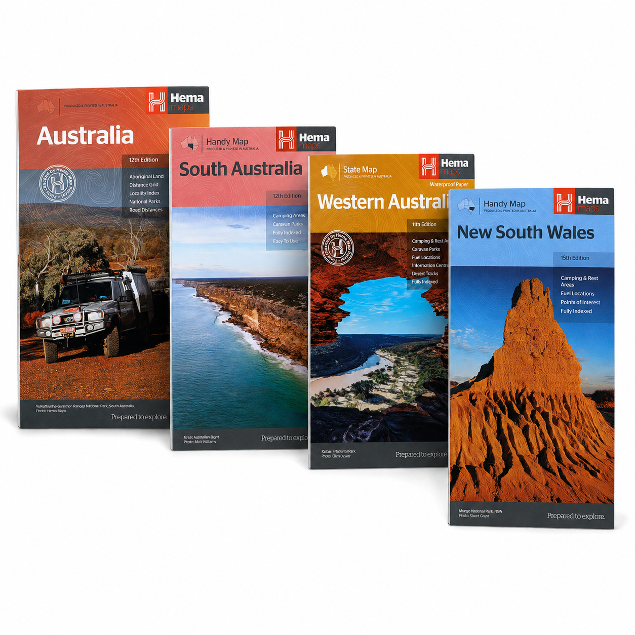
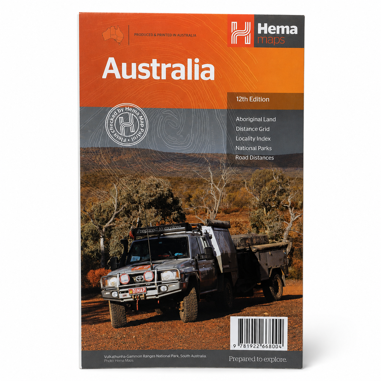
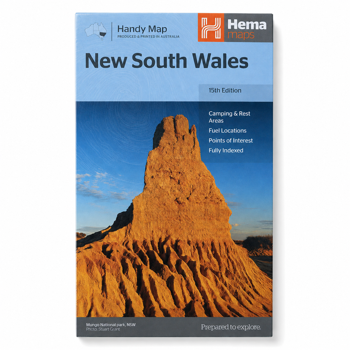
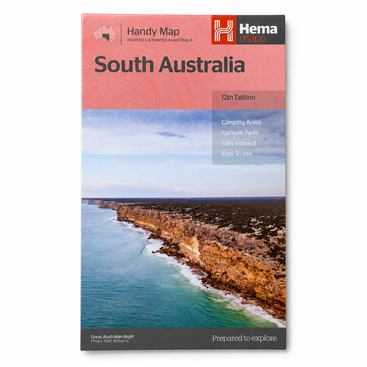
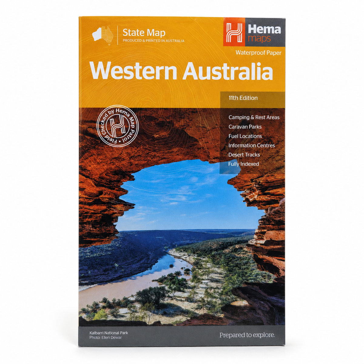
Hema Handy Maps Australia | State & Territory Maps
Goes well with
- A few left in stock!
⏳ Estimated lead time: about 1 week to 8+ weeks. It depends on where this stock is in production and shipping when you order. Tighter customs checks are also slowing imports nationwide, so some pre-orders may take longer than 8 weeks.
By pre-ordering you agree to our Pre-Order Terms & Conditions, including our 24-hour cancellation window.
Pop your email in and we'll let you know the moment this option is back in stock.
🗺️ Hema Handy Maps of Australia
📖 Description
Trusted Australian Mapping For Every Journey.
The Hema Handy Maps of Australia series provides clear, practical and reliable mapping coverage for travellers exploring Australia's vast road networks, regional routes and iconic destinations. Produced by Australia's trusted mapping specialists, these fully indexed state and territory maps are designed to deliver dependable navigation in a compact format that's easy to carry wherever your travels take you.
Whether you're planning a cross-country adventure, touring regional Australia, exploring national parks or simply keeping a reliable reference map in your vehicle, Hema Handy Maps provide valuable information that doesn't rely on mobile coverage, batteries or internet access.
Each map features comprehensive statewide coverage, clearly marked points of interest, camping locations, rest areas, caravan parks, fuel locations and national parks to help make trip planning and navigation easier.
✅ Key Features
- Trusted Hema Maps cartography
- Fully indexed for quick reference
- Statewide and territory-wide coverage
- National parks clearly marked
- Camping areas identified
- Caravan parks and rest areas included
- 24-hour fuel locations highlighted
- Points of interest marked throughout
- Distance grids for trip planning
- Clear, easy-to-read layout
- Compact travel-friendly format
- Ideal backup navigation tool
🛣️ Designed For Australian Travel
🗺️ Available Editions
- New South Wales
- Victoria
- Queensland
- South Australia
- Western Australia
- Tasmania
- Northern Territory
- Australian Capital Territory (where applicable)
📍 Helpful Travel Information Included
- National parks and protected areas
- Camping grounds
- Caravan parks
- Rest areas
- 24-hour fuel locations
- Tourist attractions and points of interest
- Distance reference grids
- Major and secondary road networks
Having reliable map coverage on hand remains valuable even when travelling through areas with limited phone reception or GPS coverage.
📖 Product Information
🏕️ Ideal For
- Road-trippers
- Caravan travellers
- 4WD enthusiasts
- Campers
- Regional travellers
- Touring Australia
- Trip planning
- Vehicle navigation backups
- Outdoor adventurers
- Anyone wanting reliable mapping coverage
🧭 Why Preppers Need This
📦 Package Includes
- 1 x Hema Handy Map (Selected State or Territory Edition)
Please Select: Your preferred State or Territory map from the available options.
⚠️ Important Information
ℹ️ Disclaimer
Couldn't load pickup availability

Hema Handy Maps Australia | State & Territory Maps
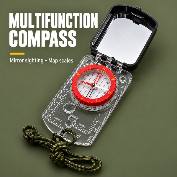
Pairs well with this

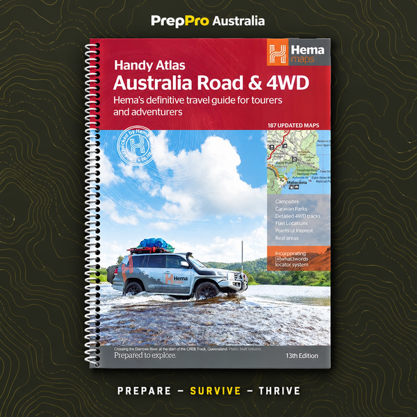
You may also like
Get prepared now. Pay in 4.
Choose Shop Pay at checkout and split your order into 4 interest-free payments. Track and manage every payment in the Shop app.
Build your own kit
Pick 5 or more items across 12 categories. Get 10% off at 5 items and 15% off at 10.
Start building →The Survival Hub
Free, practical guides for bushfire, flood, storms, blackouts and evacuation, written for Australian conditions.
Read the guide →10% off your first order
New gear, restocks, giveaways and practical prep tips straight to your inbox.
Claim 10% off →